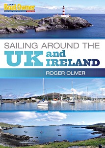
Sailing Around the UK and Ireland (Practical Boat Owner)
Based on a highly successful series of articles in Practical Boat Owner magazine, this is a detailed practical guide to sailing around the UK - all by means of day sails. Roger Oliver, a passionate sailor, explains his in-depth passage planning, boat preparations, weather checks and log-keeping, as well as his choice of routes, the detailed navigation, sail trim tips and on-passage maintenance, all for the benefit of sailors who have a yen to follow in his footsteps.
Packed with a wealth of practical tips on seamanship, anchoring in high winds, coping with big seas, problem-solving, harnessing the tide, sailing short-handed and living aboard for extended cruising, this book will be a godsend to the many thousands of sailors who enjoy coastal cruising and who will discover (as did Roger) that it is perfectly possible to cruise around the whole of the UK in a series of day sails.
With this book to hand, and inspired by Roger's detailed route maps and spectacular photographs, anyone can experience the thrill and enjoyment of sailing around the beautiful and varied UK coast from any starting point.
| Author: | Roger Oliver |
|---|---|
| Specs: | 176 pages, 29.5 x 21 x 1.3 cm / 11.6 x 8.25 x 0.51 in, paperback |
| Illustrations: | numerous colour photographs and drawings |
| Publisher: | Bloomsbury Publishing PLC (GB, 2011) |
Sailing Around the UK and Ireland (Practical Boat Owner)
Language: English
Buy from Amazon UKBuy from Amazon CA
Buy from Amazon.com