This website uses affiliate links. That means that if you order something through these links, we may earn a small commission at no extra cost to you. Learn more
A guide for your cruising holiday in France (rivers and canals)? These cruising guides and directions inform you about navigation, marinas and tourist sights.
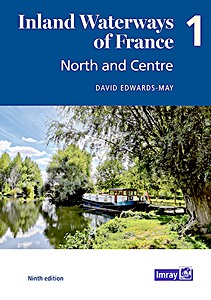
Inland Waterways of France (Volume 1) - North and Centre
The ninth edition of Inland Waterways of France is the ideal guide for planning cruises in and through the most fascinating and diverse waterway network in Europe. This edition takes a new paperback format, split into three volumes. Author David Edwards-May presents a detailed overview of the waterways extending from the English Channel through Northern France, Picardy and Paris to Central France and Burgundy. This system totals 2700 kilometres of waterways that are as vibrant as ever, and include the new Seine-Nord Europe Canal, now under construction, to be completed by 2028. Recreational use is growing alongside the commercial traffic on the busier waterways, while Champagne, Burgundy and Central France have become cruising destinations in their own right.
This first volume of the new edition sets out the current state of the network in 200 pages in full colour, with detailed maps of junctions and other key sites on the network, overview maps for each waterway, and route descriptions. It is a unique blend of practical information, maps, background historical notes and colour photographs.
Author:
David Edwards-May
Specs:
200 pages, 29.5 x 21.5 x 1.5 cm / 11.6 x 8.5 x 0.59 in, paperback
Illustrations:
numerous colour photographs and maps
Publisher:
Imray, Laurie, Norie & Wilson Ltd (GB, 2021)
Inland Waterways of France (Volume 1) - North and Centre
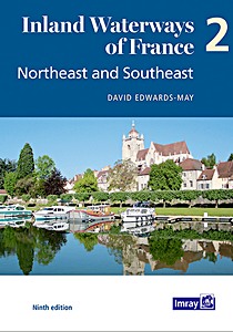
Inland Waterways of France (Volume 2) - Northeast and Southeast
The ninth edition of Inland Waterways of France is the ideal guide for planning cruises in and through the most fascinating and diverse waterway network in Europe. This edition takes a new paperback format, split into three volumes. David Edwards-May has investigated the many developments that have taken place during the last 10 years and presents a detailed description of the extraordinarily diverse system of navigable rivers and canals in France. With the restoration of historic navigations, the system now totals 9000 kilometres, and has become a favourite destination for tens of thousands of boaters from Europe and the rest of the world.
This volume will serve to plan ongoing or future cruises through the 2500 kilometres of waterways from the northeast - the cross-border rivers Meuse, Moselle, Sarre and Rhine - to the Mediterranean. On the busier waterways recreational use is growing alongside the commercial traffic, but there are many places where boats can moor safely. Waterways are an important part of the appeal of France as a tourist destination.
This new edition sets out the current state of the network in 126 pages in full colour, with detailed maps of 40 key sites, towns and junctions, and overview maps for each waterway. It is a unique blend of practical information, descriptions of places, maps, background historical notes and colour photographs.
Author:
David Edwards-May
Specs:
126 pages, 29.5 x 21 x 1 cm / 11.6 x 8.25 x 0.39 in, paperback
Illustrations:
numerous colour photographs and maps
Publisher:
Imray, Laurie, Norie & Wilson Ltd (GB, 2021)
Inland Waterways of France (Volume 2) - Northeast and Southeast
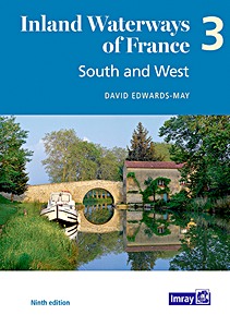
Inland Waterways of France (Volume 3) - South and West
The ninth edition of Inland Waterways of France is the ideal guide for planning cruises in and through the most fascinating and diverse waterway network in Europe. Author David Edwards-May has researched the many changes that have taken place during the last 10 years, and presents a detailed overview of the waterways extending throughout the South ('Midi'), the Southwest and Western France. This system totals 3000 kilometres of waterways that are maintained and developed almost exclusively for recreational navigation.
This third volume of the new edition sets out the current state of the network in 146 pages in full colour, with detailed maps of junctions and other key sites on the network, overview maps for each waterway, and route descriptions. It is a unique blend of practical information, maps, background historical notes and colour photographs. It also highlights ongoing waterway restoration projects, in which the author has been personally involved for many years.
Author:
David Edwards-May
Specs:
146 pages, 29.5 x 21 x 1.2 cm / 11.6 x 8.25 x 0.47 in, paperback
Illustrations:
numerous colour photographs and maps
Publisher:
Imray, Laurie, Norie & Wilson Ltd (GB, 2021)
Inland Waterways of France (Volume 3) - South and West
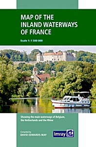
First published in the 1950s under the editorship of EE Benest and later Konrad Nussbaum, the Imray map of the French inland waterway system has always been regarded as the essential reference for planning a visit to France by boat. It is now superseded by this completely recompiled and redrawn edition by David Edwards-May, the leading authority on World canals and waterways.
The new cartography includes improved detail and presents essential information concerning distances and dimensions with a greater clarity than on previous editions. The map continues to cover the Low Countries and the western part of Germany and now also includes large scale insets of the Paris region and northeast France. The scale remains at 1: 1 500 000
Author:
David Edwards-May
Specs:
28.5 x 19.5 x 1.1 cm / 11.2 x 7.7 x 0.43 in, map (folded)
Canaux et rivières de France - Histoire, patrimoine, navigation (Guide Imray Vagnon)
Ce beau livre est un guide de tourisme à l'attention des plaisanciers naviguant sur les voies intérieures françaises. On y trouve des données de navigation essentielles (cartes, situation des écluses, kilométrage des voies d'eau, tirants d'eau et d'air, locations de bateaux, etc.), mais aussi nombre d'informations sur les lieux où s'arrêter, les sites à visiter ou encore l'histoire des régions traversées...
Illustré de magnifiques photos, plein de renseignements utiles et d'anecdotes passionnantes, voilà plus de 200 pages qui raviront à coup sûr tous les amateurs de belles navigations !
Specs:
215 pages, 25 x 20.5 x 1.9 cm / 9.8 x 8.1 x 0.75 in, paperback
Illustrations:
numerous colour photographs
Publisher:
Editions Vagnon (F, 2014)
Series:
Guide Imray Vagnon
Canaux et rivières de France - Histoire, patrimoine, navigation
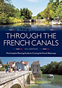
Through the French Canals : The Complete Planning Guide to Cruising the French Waterways
"Through the French Canals" has probably tempted more people to explore the beautiful waterways of France than any other book. First published in 1970, it's been the key authoritative title on cruising the French canals ever since. The revised new edition is the essential comprehensive planning guide for anyone wanting to cruise through the French waterways or take their boat from the English Channel through to the Mediterranean via the inland route. It includes over 50 routes fully described and illustrated, with positions of locks, towns and villages through routes from the English Channel and Atlantic to the Mediterranean, plus distances, and assessment of suitable boats for the canals.
The book also provides dimensions of locks and operating times, details of bridge heights, canal depths, fuelling points, waterway signals, a guide to the cost of living, shopping and stores, sources of weather information, haltes for overnight stops, and ports de plaisance. As well as new photography, the new edition is updated throughout with new information on local facilities, new haltes and ports de plaisance, new VNF License fees, revisions to cruise hire companies, updated references to holding tanks, the availability of diesel and costs of cruising and much more.
Author:
David Jefferson
Specs:
328 pages, 21 x 15 x 1.9 cm / 8.25 x 5.9 x 0.75 in, paperback
Illustrations:
100+ colour photographs and maps
Publisher:
Adlard Coles (GB, 2021)
Through the French Canals : The Complete Planning Guide to Cruising the French Waterways
Derek Bowskill's lively commentary to the River Seine is a comprehensive source of information for navigators on the river from the sea to Paris and beyond to the start of the French inland waterways system.
River Seine Cruising Guide covers the Seine estuary to Paris, the river above Paris and the Canal de l'Ourcq and L'Oise. The narrative is illustrated with clear maps, whilst technical information is covered in a comprehensive directory. Bowskill's work is an excellent companion not only for a trip to Paris but also to the Mediterranean.
Author:
Derek Bowskill
Specs:
110 pages, 23.5 x 16 x 0.6 cm / 9.25 x 6.3 x 0.24 in, paperback